Peterborough
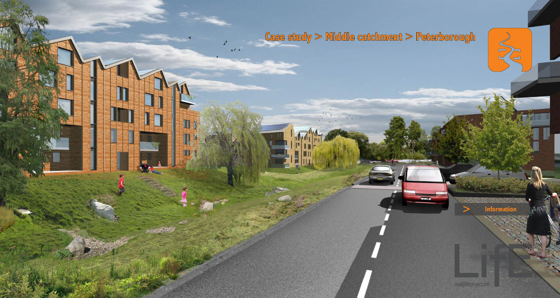
Peterborough is located on the middle catchment of the River Nene. Flood risk is predominantly from the river. Floodwater volumes are very large and floodwater could remain on site for several days.
Climate change could result in the flood levels and duration of flooding increasing.
Development ideas aim to reunite the city with the river. A mixture of brownfield sites and a former refuse sites are considered for redevelopment as part of a holistic vision. Higher density development is located close to the city centre and within Flood Zone 1 (low risk). Development is organised around a combination of, views of Peterborough Cathedral, connections to ‘Central Park’, and drainage paths in times of flood.
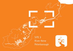
LifE Study Site 2
Peterborough
|
